County Atlases
Atlases based on the Pennsylvania Land Office Township Warrantee Maps, as well as individual chapter downloads, for the following counties:
Berks County
Dauphin County
Fayette County
Greene County
Lancaster County
Northampton County
Washington County
Westmoreland County

Statewide Resources
See our Land Acquisition Page for tutorials and links to essential land records, most of which are free.
We Also offer 4 major downloadable resources for locating the earliest private purchasers of land across Pennsylvania: Warrant Registers for the entire state (set of 67 county Warrant Registers plus 3 pre-1733 ledgers), Patent Registers Indexes for the state (complete set), Tract Name Indexes from 1682-1959+, and the New Purchase Applications Register.
The official Warrant, Patent, and Tract Name Register Indexes are also available as a set.
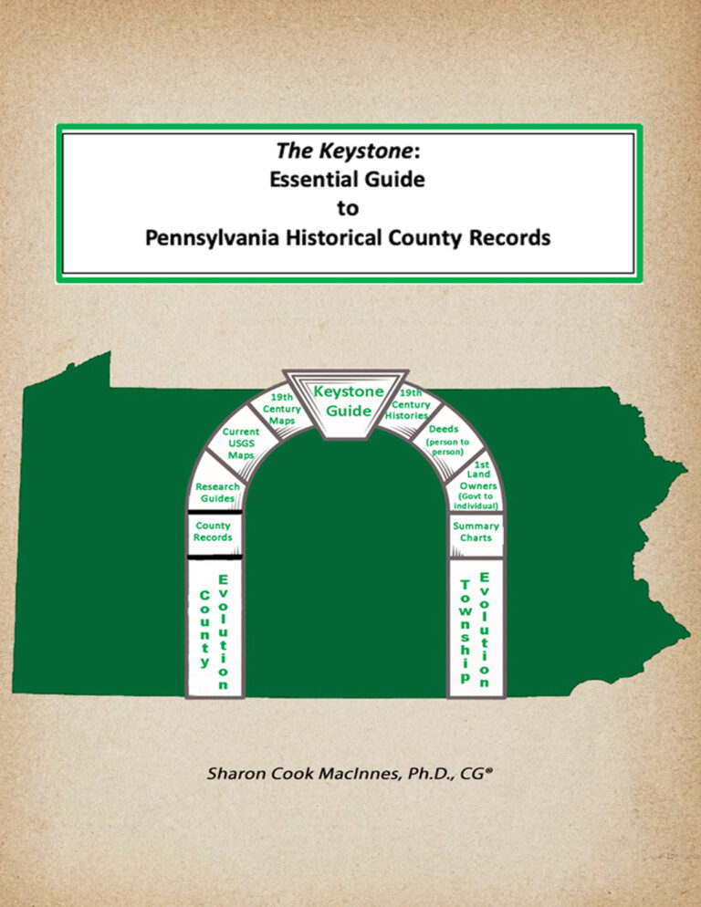
NEW! The Keystone: Essential Guide to PA Historical County Records
Free Land Resources for PA Researchers
Click this link for a state map with clickable counties leading to a compilation of free web resources, including thousands of images of 19-century landowner maps and atlases we have personally taken at the Library of Congress. These images can be downloaded and saved to your computer or printed. We give permission to use these images, for personal use only, with attribution to Ancestor Tracks.